There is something about sitting by a waterfall. Maybe it’s the white noise of the rushing water that lets our minds rest a bit. Perhaps it’s the picturesque nature of a dip in a pool of cool water that’s just splashed down a rocky cliff. It’s one thing to see waterfalls in a picture or a film — it’s quite another to actually hike to one and experience it in person. If you’re visiting Los Angeles, you haven’t really been there if you don’t get out in nature at least a little bit. There is a wonderful hike to a lovely waterfall in the Angeles National Forest that is pretty moderate in terms of difficulty and takes you along a river to Switzer Falls.
The trailhead for Switzer Falls is in Altadena, about a 26-mile drive from Hollywood and Highland, which is an intersection right in the heart of Hollywood. So many visitors just see the famous stars on the Hollywood Walk of Fame and other usual tourist sites. If you really want to get a feel for what it’s like to live in this part of California, a trip into the great outdoors is exactly what you need. Here is everything you need to know about the hike to Switzer Falls, the surprising glimpses of the past you’ll spot, and what you need to be wary of.
All about Switzer Falls

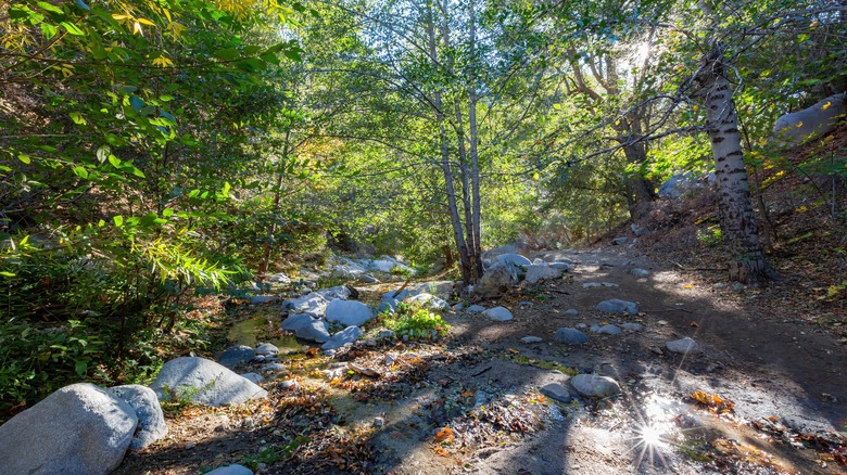
To do this hike, you’ll need an Adventure Pass, which you can get here. Just display it on your windshield. The Switzer Falls hike is around 3.4 miles out and back and mostly follows the Gabrielino Trail. The hike will likely take you around an hour and a half or two hours, depending on your speed (and how many pics you take for social media). This is a very popular hike, so it’s best to go pretty early if possible. However, if you prefer hiking with other people, then this is a great place for it. You’ll cross the Arroyo Seco tributary a few times on this trail, so if you want hiking poles for that, bring them, but you may not need them. You’ll be under some tree cover for most of this trek, but one thing to know about outdoor activity in Los Angeles is that sunscreen is an absolute must. Explore has some sunscreen tips for you, just in case.
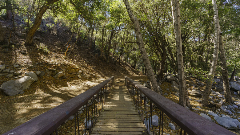
The hike to Switzer Falls has a 700-foot elevation gain, but it’s pretty gradual. You’ll start at the Switzer Picnic Area in Altadena off CA-2 (Angeles Crest Highway). You’ll see an entrance to the parking area, and the best place to park is the lower lot near the bathrooms. The trail is marked with brown signs and yellow writing. You’ll see the sign for the trailhead next to a footbridge, which you’ll cross to start the hike. Keep in mind that the hike begins downhill and returns uphill, so conserve your energy.
The hike to Switzer Falls

As you follow the trail to Switzer Falls, you’ll pass some ruins (walls, stoves, and other items) from the Switzer Trail Camp that was built in 1884 by Commodore Perry Switzer as a stopping spot for hikers. It developed into a sort of resort not that far from the falls, and it was nicknamed “Switzer-land.” It burned down in 1959, and some of the remains were later demolished. However, it’s really cool to see evidence that hiking was so popular at the end of the 19th century.
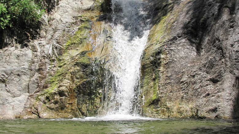
At the end of the trail, you’ll arrive at Lower Switzer Falls. There’s also a chance to hike up to Upper Switzer Falls using a rough trail to the right. But please don’t climb the rocks, as there have been fatalities here. Give yourself a bit of time to sit and enjoy the scenery. Life is hectic, so getting to dream for a bit by a waterfall is a rare treat.
There are a few things to know about hiking in this area. First, beware rattlesnakes. Wear shoes that cover your ankles, and don’t venture into long grass. Keep your limbs away from hidden areas like rocks and fallen trees. If you see a rattlesnake (or hear a rattle), back up and move away slowly. Finally, Los Angeles has gotten a lot of rain at the time of this writing, so the trail may have some damage. Pay attention to the conditions and enjoy this gorgeous place.

