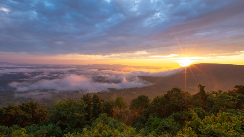
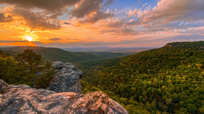
A picturesque drive through the rain-washed Ozark hills of Arkansas seems like a well-deserved weekend getaway trip. Yet, this harrowing route from Harrison through Jasper has a few (literal) twists and turns that travelers will want to prepare for. The Jasper Disaster road trip route is a famous Southern road trip among locals, known for its gorgeous mountain views, captivating fall foliage, and untouched natural serenity. Despite its name, which comes from the 316 terrifying curves found along this route, it’s a scenic drive through some of the state’s most beautiful topography. Stretching 56 miles long, the Jasper Disaster route winds travelers along Highways 43, 74, and Byway 7.
While travelers can make their way around this loop in about an hour and a half, it’s a journey best split up over at least two or three days, allowing yourself plenty of time to get out and explore the backwoods beyond the paved highway. While beautiful year-round, fall is when the foliage on these roads really shines. The canvas of red, gold, brown, and orange set against the backdrop of the Ozark Mountains is a wondrous sight to behold. The majority of the road trip exists in the secluded backwoods of Arkansas, showcasing some of the most iconic natural landmarks in the state. Tumbling waterfalls, gently flowing creeks, culminating mountain peaks, and indigenous wildlife characterize each section of this journey. Along the way, the route weaves through some of Arkansas’s best quintessential small towns, including Pruitt, Jasper, Ponca, and Compton.
Harrison to Jasper

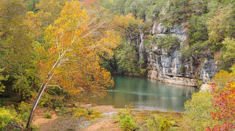
Start the journey in Harrison and head south on Byway 7 toward Jasper. Along the way, stop by Dogpatch in Marble Falls. This abandoned theme park once stood as a popular attraction but now exists as a nature center. As you continue the journey, just past Pruitt is perhaps the most famous attraction on this scenic route — Buffalo National River. As the first recognized national river in the United States, the water runs west to east through four Arkansas counties. Five miles north of Jasper, Pruitt Landing is a gorgeous watering hole surrounded by lush vegetation, making it one of the prettiest sections of the river. The landing area is used as a launching platform for canoe or kayak trips. It’s also a great spot to unpack a picnic lunch for a short roadside break.
Upon reaching Jasper, you’ll be greeted by an outpouring of Southern hospitality and lush green valleys stretching as far as the eye can see. The population of this small town is just over 500 (per Data Commons), making it a quintessential Southern small town. This Ozark mountain town is a wilderness playground for outdoor enthusiasts, and according to Arkansas.com, more than one-third of the county is owned by some government entity, including National Park and Forest Services. Jasper is also home to the Buffalo River Elk Festival — an annual summer tradition among locals.
Jasper to Compton

Keeping west onto Highway 74 guides travelers to Mount Sherman. Alternatively, stay on Byway 7 for a short detour to the Arkansas Grand Canyon, offering breathtaking views of the epic valleys the canyon creates. Intersecting with Byway 7 is a spine-chilling route along Highway 123, known as the Arkansas Dragon. This 19-mile stretch of road consists of several steep twists, turns, and switchbacks along the way. Continuing along Highway 74, passing Mount Sherman, travelers will soon reach the beautiful Boxley Valley. Located near the Buffalo River near Ponca, Boxley Valley is situated in the middle of the Ozark National Forest along the Ozark Scenic Highway. The land is rich with hiking trails, limestone bluffs, and cozy cabins.
Heading north out of Ponca on Highway 43, Hemmed-in Hollow Falls is another spectacular roadside stopping point you won’t want to miss. Tucked between the Appalachian and Rocky Mountains, Hemmed-in Hollow Falls is the tallest waterfall within these mountain ranges, standing at 200 feet. The small grotto that houses the waterfall is adorned with lush greenery and wildlife — a peaceful spot to take in the great American wilderness of Arkansas. Travelers can reach the falls through the Compton Trail, a 5-mile path located just off Highway 43. The distance from Compton back to Harrison is short at only 17.5 miles, allowing for a leisurely and scenic home stretch on the back half of this iconic road trip route.

